What is cloud gazing?
Cloud gazing, also called cloud spotting or cloud watching, is the act of sitting down in a comfortable spot and observing the clouds overhead. While it sounds simple, cloud gazing is a relaxing activity that benefits your mental well-being and enhances your connection with Earth’s meteorological systems.
Cloud gazing is an ancient pastime. In past centuries, artists, scholars, farmers, and religious figures looked to the skies for inspiration or clues about Earth’s processes. In more modern times, the COVID-19 pandemic caused more people to begin cloud gazing as an easy and relaxing way to connect to the world around them.
When cloud gazing, you might imagine the shapes of animals or objects in the clouds. Like an inkblot test, our brains project recognizable silhouettes onto abstract cloud shapes in a psychological phenomenon known as pareidolia. Some say this imaginative process of cloud gazing can increase mindfulness and stimulate creativity, providing mental health benefits.
Alternatively, taking a scientific approach to cloud gazing can improve your understanding of meteorology and help you gain some forecasting skills. When you know what type of cloud you’re observing, you may have an indication of what weather to expect in the next few hours. In Florida, where weather can be so unpredictable, being able to read the clouds can be a useful skill!
Do you know your clouds?
Read more to learn how to identify clouds and what kinds of weather they might indicate!
High Altitude Clouds (16,000-40,000 feet)
 Cirrus: Thin, wispy clouds made of ice crystals. Typically indicate calm, pleasant weather.
 Cirrocumulus: Small, white fluffy clouds that can span for miles. Typically indicate pleasant weather with some atmospheric instability.
  Cirrostratus: Translucent, veil-like clouds that sometimes refract a rainbow halo. Typically indicate precipitation in the next 24 hours.
Mid Altitude Clouds (6,500-23,000 feet)
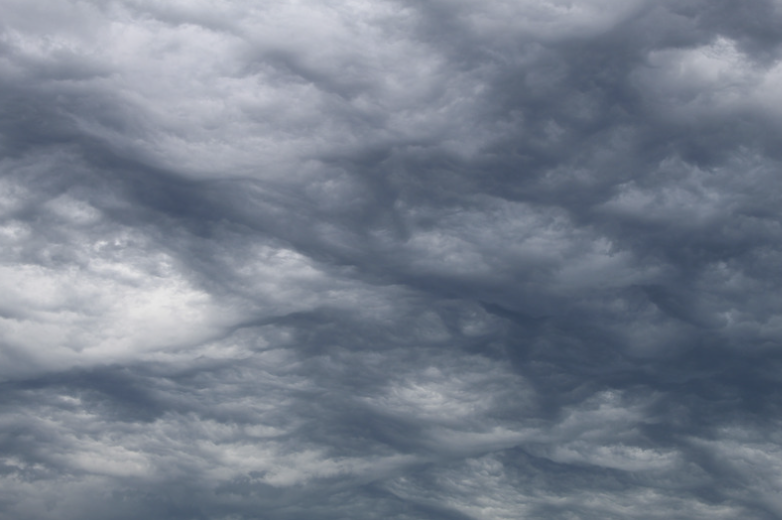
 Altocumulus: Grayish-white layered puffy clouds. Suggest moisture in the atmosphere but do not necessarily indicate rain.
 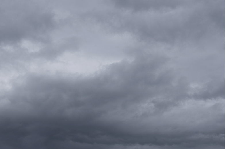 Altostratus: Uniformly gray, smooth, and featureless. Indicates overcast conditions with a high likelihood of precipitation.
 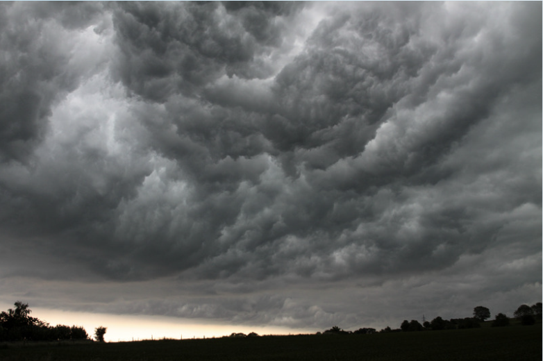 Nimbostratus: Thick, dark layer of rainclouds that can completely block out the sun. Indicate prolonged, steady precipitation.
 Low Altitude Clouds (0-6,500 feet)
 Stratus: Thin layers of clouds covering a large area of the sky. Indicate overcast weather with light precipitation.
  Cumulus: Fluffy white clouds that resemble cotton balls. Typically indicate fair and stable weather conditions.
  Stratocumulus: Fluffy white clouds that resemble cotton balls. Typically indicate fair and stable weather conditions.
 Clouds to watch out for
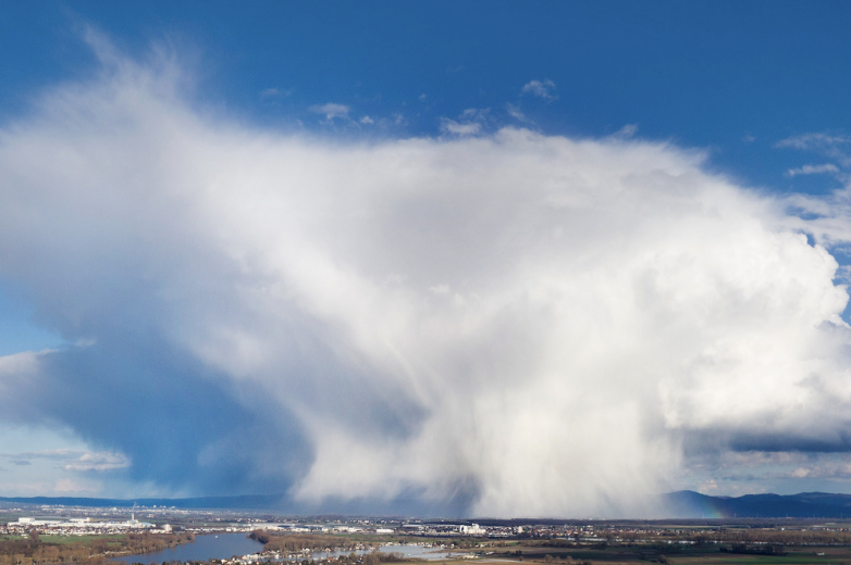 Cumulonimbus: Cumulonimbus clouds tower through the altitudes of 6,500 to 40,000 feet with an anvil-like shape on top. These tall clouds often indicate intense thunderstorms which can sometimes result in tornadoes and hail. If you see a cumulonimbus cloud, you probably shouldn’t be outside cloud gazing!