This opportunity is curated through the UF TESI Environmental Leaders Network. Opportunities posted through the Network may not be affiliated with the Florida Museum or TESI, but are shared with UF undergraduate students who want to learn more about environmental research, education and outreach, and civic engagement.
Event Title
Geographic Information Systems (GIS) Introductory Training: Using Applications for Natural Resource Management
Host Organization
Florida Sea Grant
Description
Event Date/Time
May 8-11, 2023
Event Location
In-person on the University of Florida campus in Gainesville, with an online version available
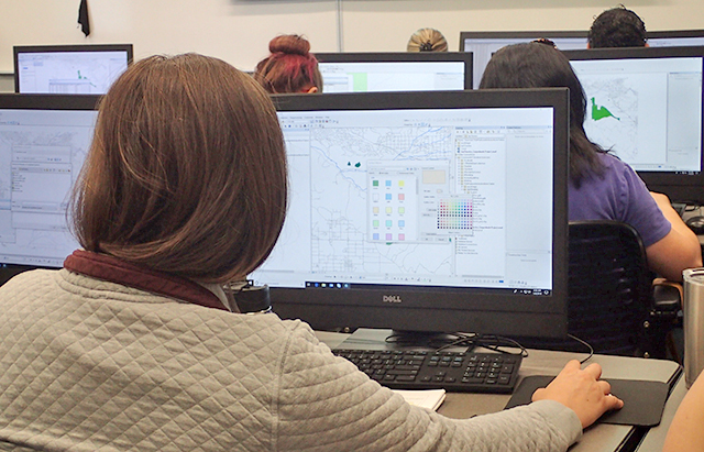
 The introductory training introduces participants to ArcGIS Pro, the primary product used by professionals to compile, analyze, and manage geographic information. It covers the most commonly used GIS skills used in the industry today by completing “real-world” exercises that build confidence using GIS, increase awareness about GIS data sources and help users explore GIS tools to enhance their research programs. Instruction also integrates important private-sector perspective providing skills directly relevant to the job market.